Log in
All resources
Create a design
33,382 Free Images of 1592 Maps
maps of world war i by the daily telegraph
maps in the library of congress
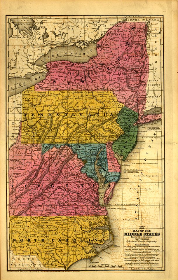
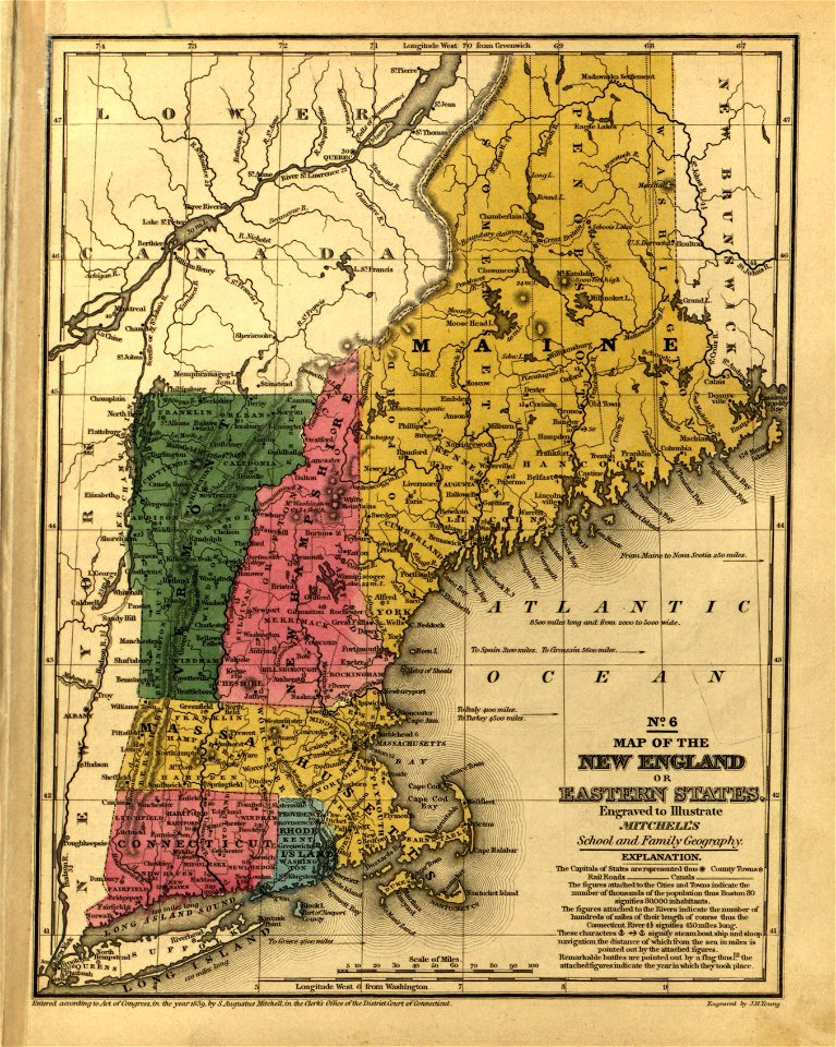
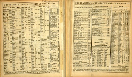
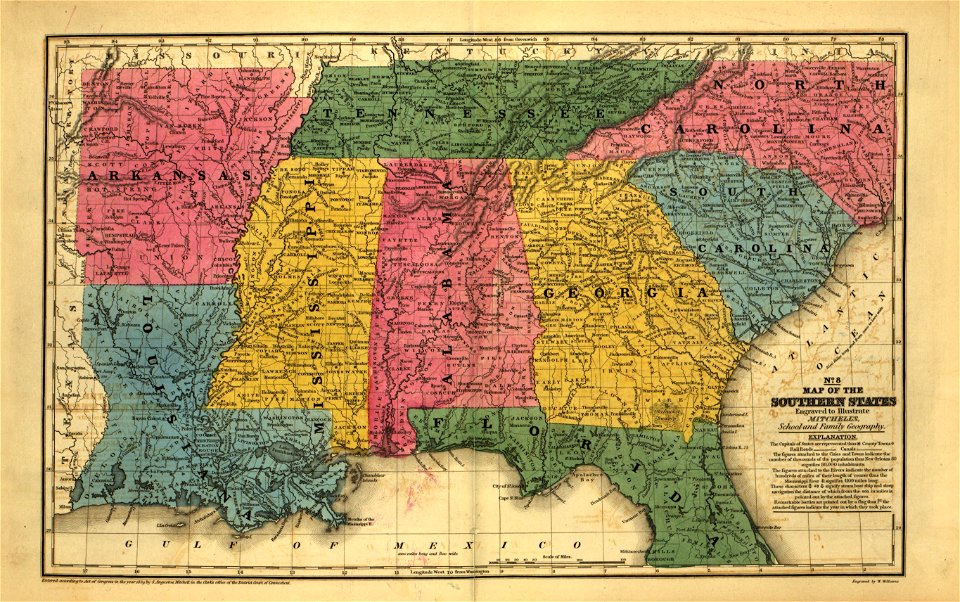
mitchell's school atlas
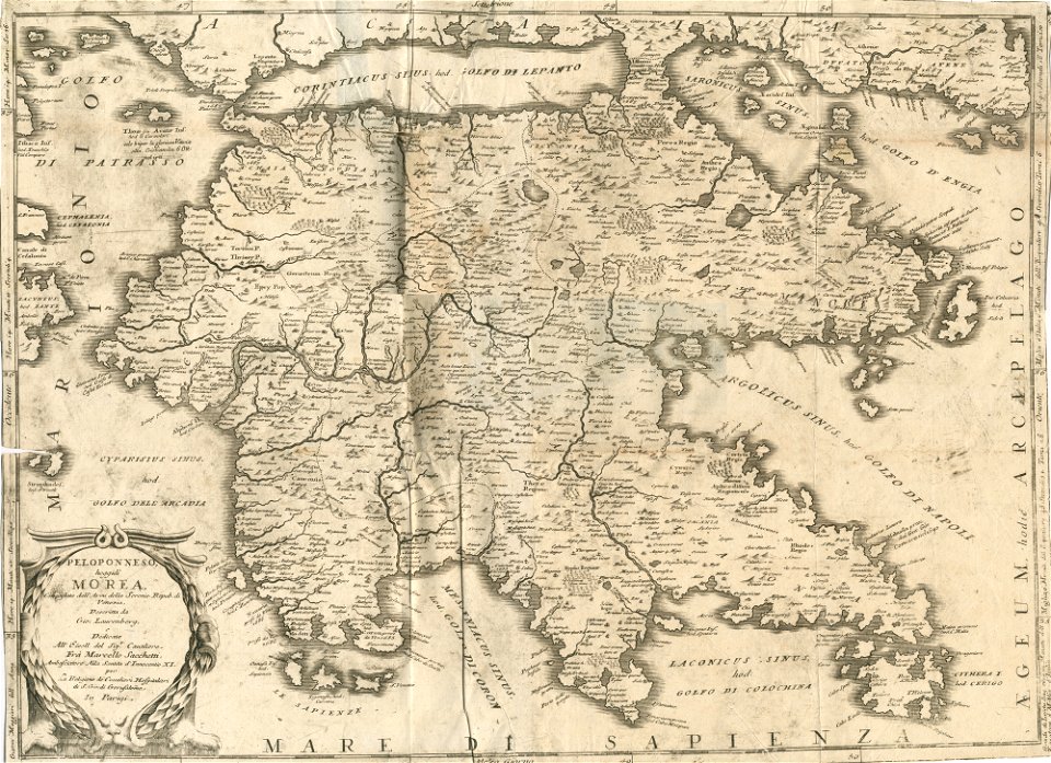
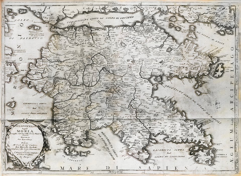
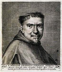
geographical illustrations by coronelli
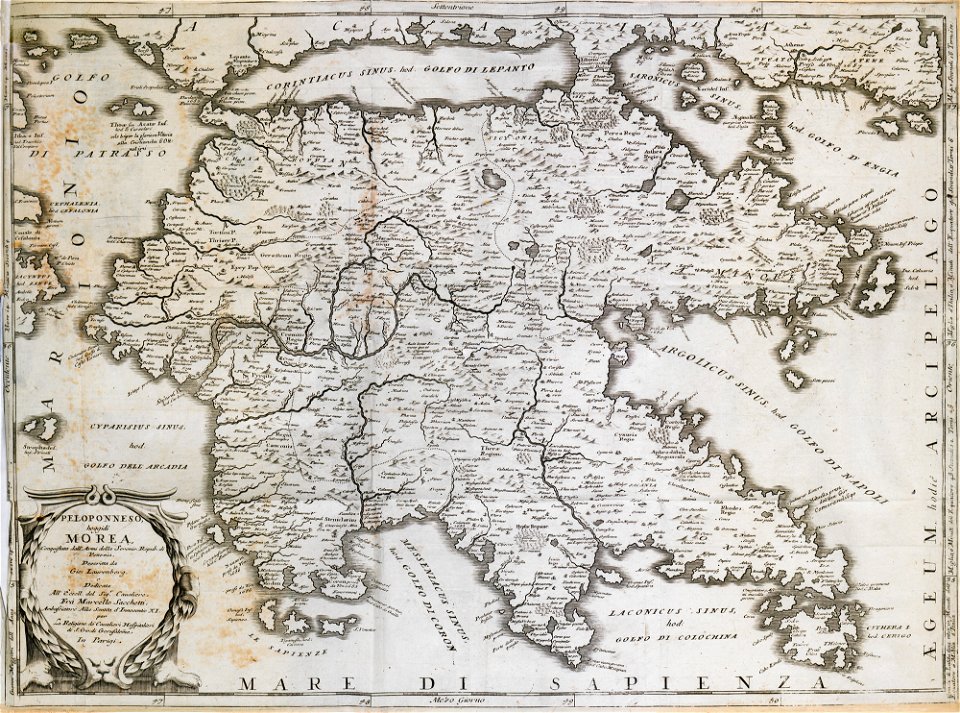
old maps of the peloponnese
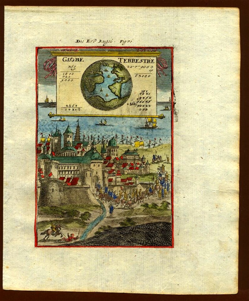
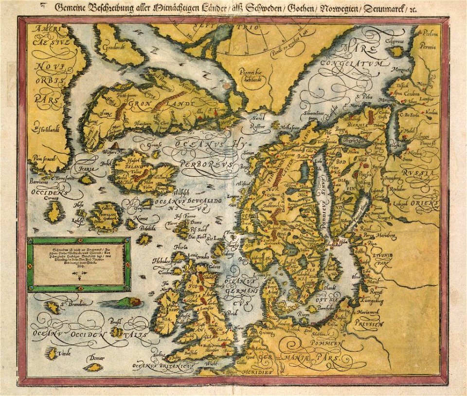
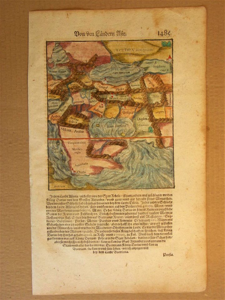
cosmographia (1600) by sebastian münster
provided by landsbókasafn íslands
description de l'universe
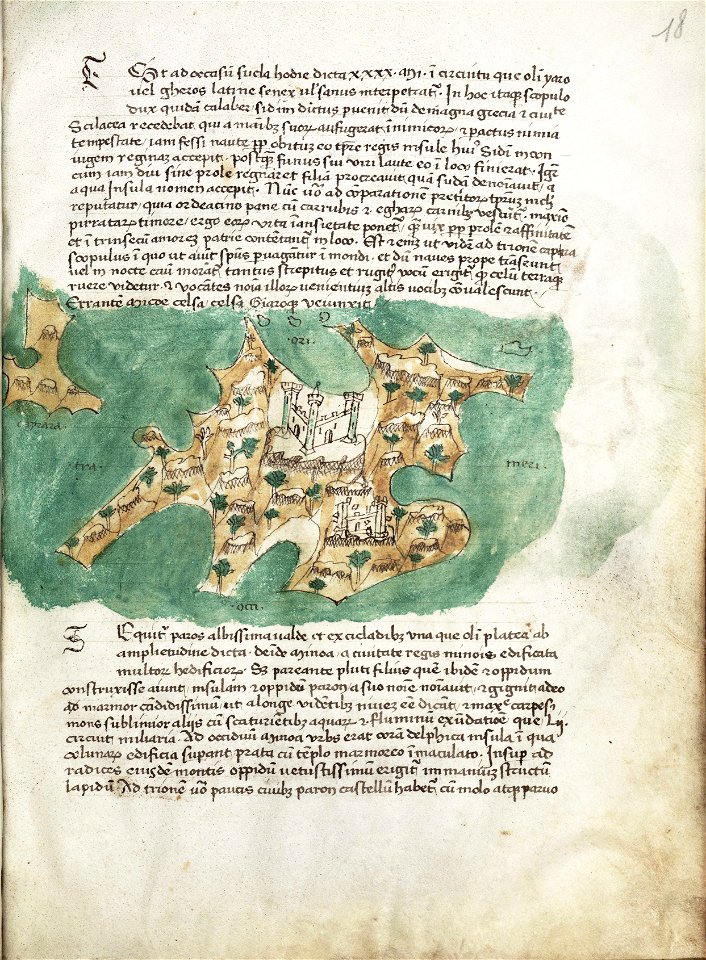
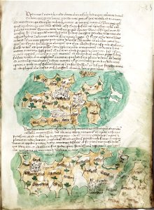
liber insularum archipelagi (royal museums greenwich)
olfert dapper
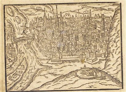
le cento città d'italia (modena)
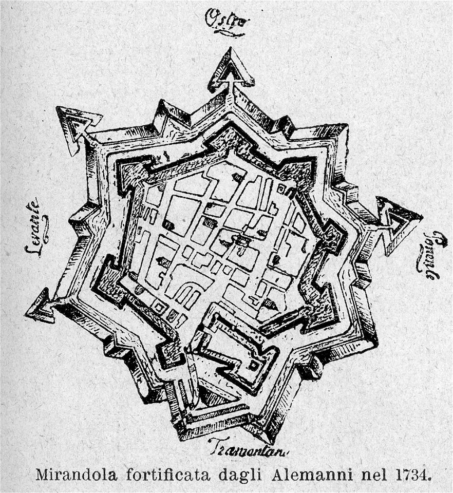
old maps of mirandola
maps in the library of congress
mitchell's school atlas
maps in the library of congress
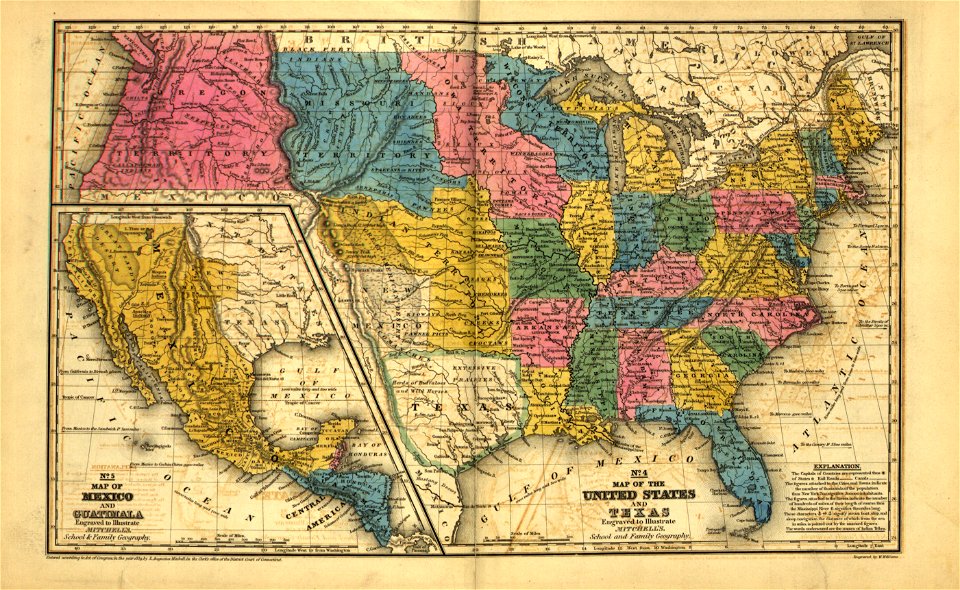
mitchell's school atlas
maps in the library of congress
mitchell's school atlas
maps in the library of congress
mitchell's school atlas
maps in the library of congress
mitchell's school atlas
maps in the library of congress
mitchell's school atlas
maps in the library of congress
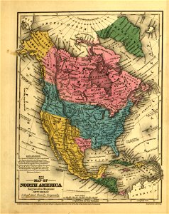
mitchell's school atlas
maps in the library of congress
mitchell's school atlas
itinerarium hierosolymitanum et syriacum..., 1619
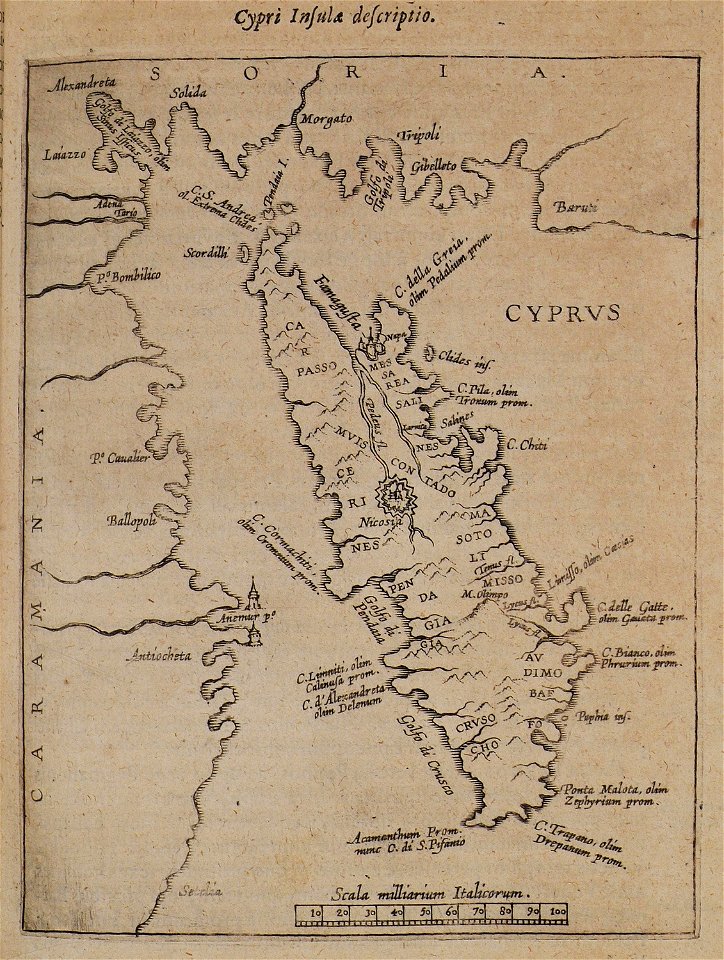
old maps of cyprus
1940s maps of indonesia
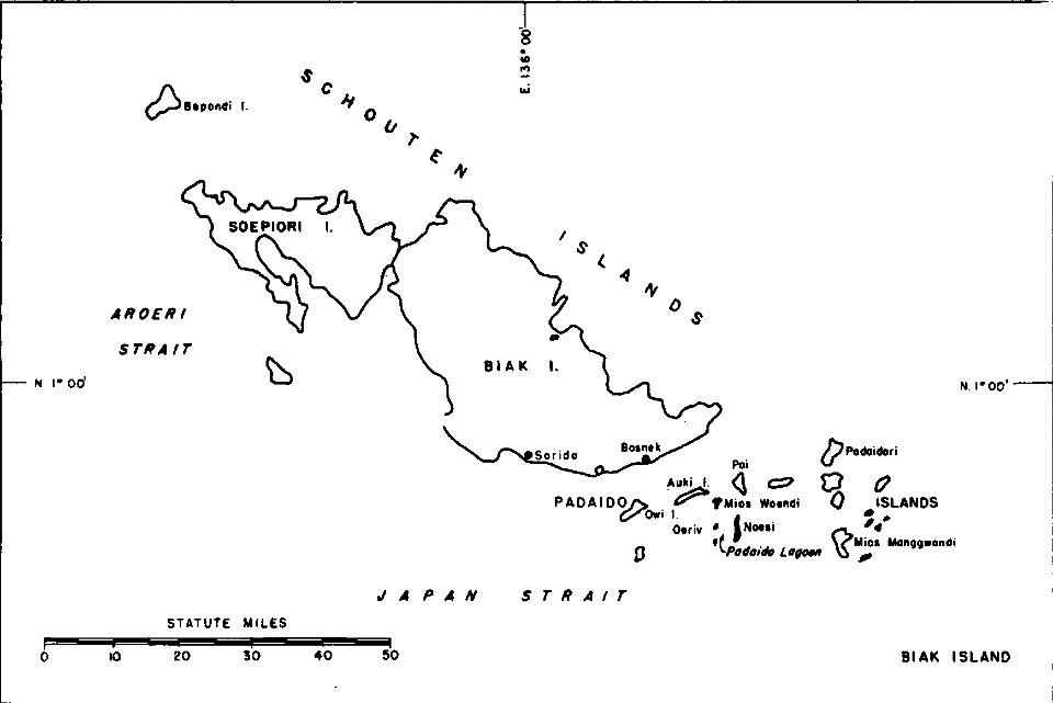
biak
cosmographia (1600) by sebastian münster
old maps of friesland
maps in the library of congress
mitchell's school atlas
maps in the library of congress
mitchell's school atlas
maps in the library of congress
mitchell's school atlas
maps in the library of congress
mitchell's school atlas
maps in the library of congress
mitchell's school atlas
maps in the library of congress
mitchell's school atlas
maps in the library of congress
mitchell's school atlas
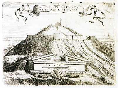
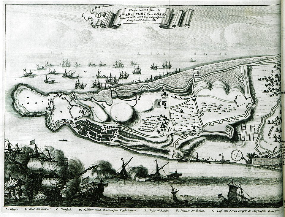
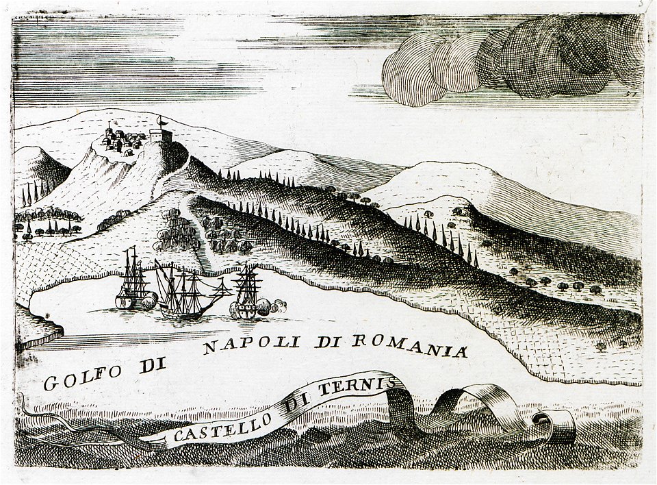
geographical illustrations by coronelli
old maps of the peloponnese
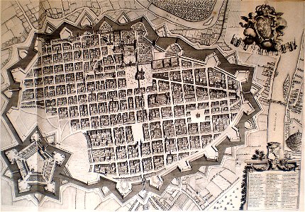
old maps of turin
1674 engravings
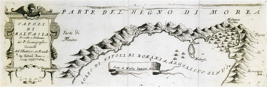
geographical illustrations by coronelli
old maps of the peloponnese
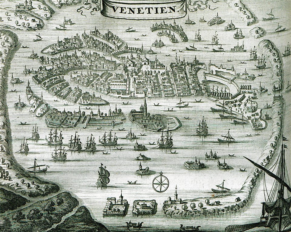
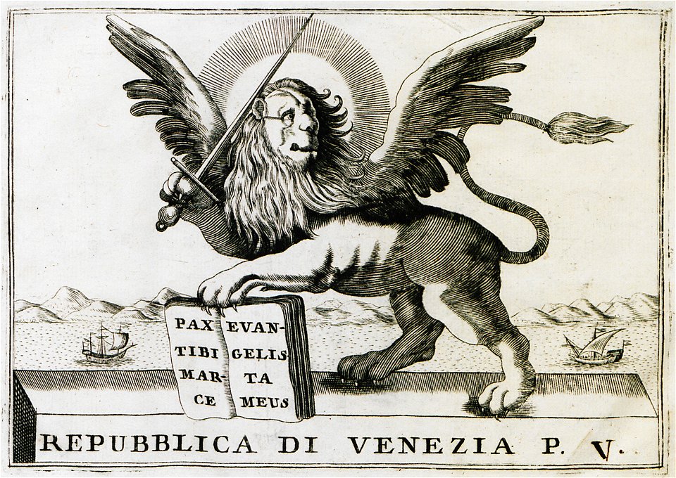
old maps of venice
venice in art
prints in the rijksmuseum amsterdam
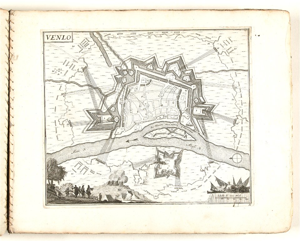
old maps of venlo
geographical illustrations by coronelli
old maps of the peloponnese
17th-century maps of the world
description de l'universe
18th-century maps of the world
description de l'universe
17th-century maps of the world
description de l'universe
18th-century maps of the world
description de l'universe
geographical illustrations by coronelli
old maps of the peloponnese
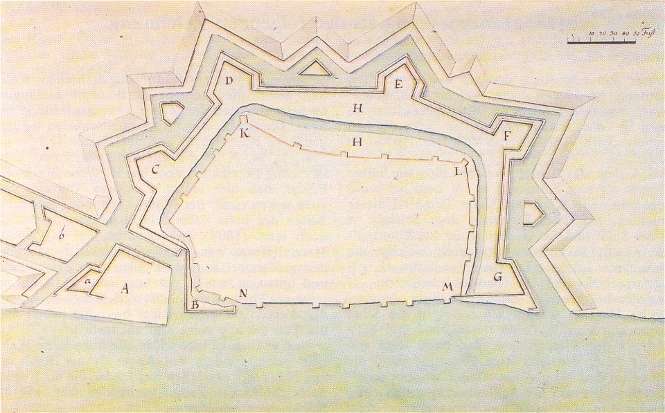
russo-turkish war (1735—1739)
maps by matthäus seutter
postcards of świnoujście
maps of świnoujście
old maps of marseille
french navy bases
maps of paris in the 1730s
plan de turgot
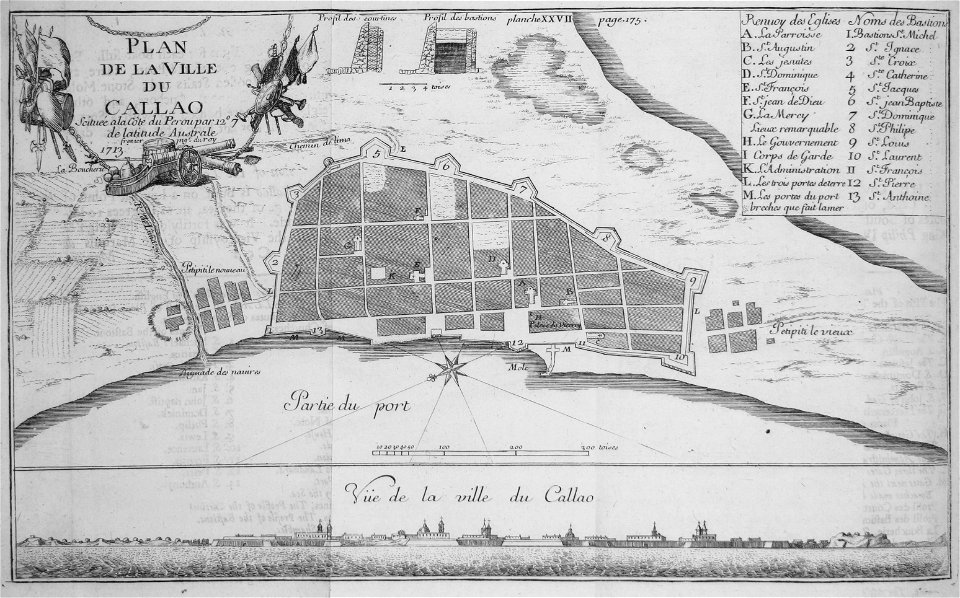
historical images of el callao
frézier's travel
old maps of greece
olfert dapper
the illustrated london news 1857
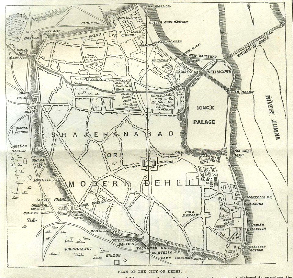
old maps of delhi
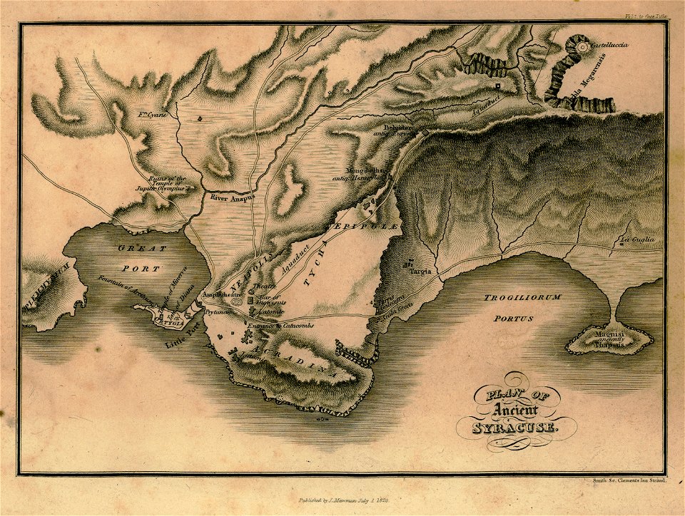
travels in sicily greece and albania
maps of syrakousai
johann christoph brotze
old maps of riga
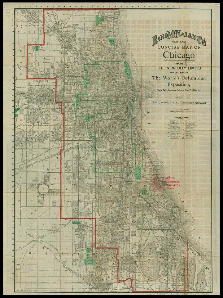
chicago and the midwest
newberry library
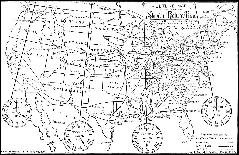
1885 maps
time
popular science monthly illustrations/volume 48
ice age maps
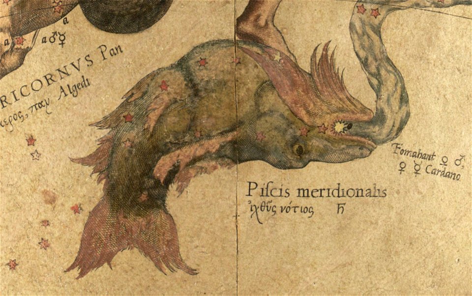
maps by gerardus mercator
mercator celestial globe
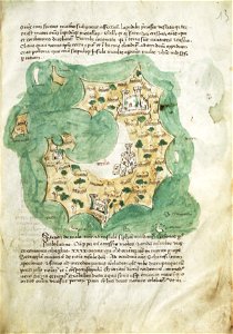
liber insularum archipelagi (royal museums greenwich)
maps of milos
art works by daniel meisner
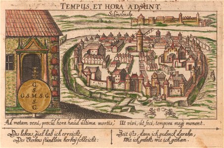
old maps of smolensk
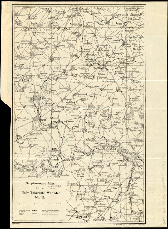
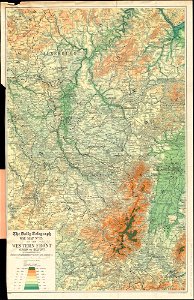
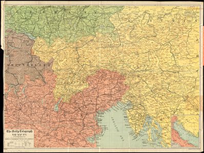
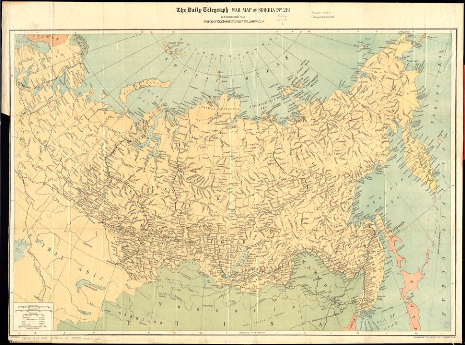
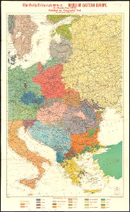
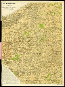
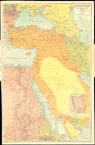
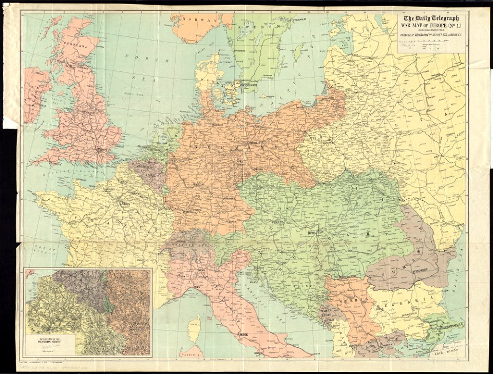
maps of world war i by the daily telegraph
liber insularum archipelagi (royal museums greenwich)
maps of syros
theatrum urbium (1610)
old maps of rouen
maps in art
disorder
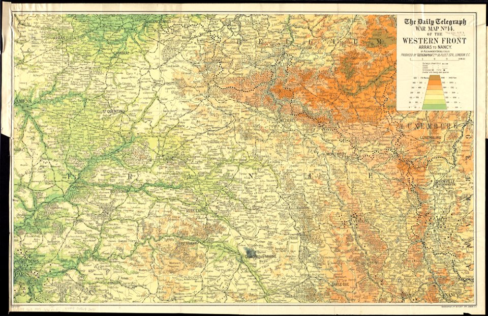
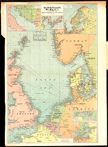
maps of world war i by the daily telegraph
maps of world war i by the daily telegraph
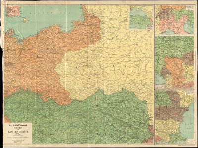
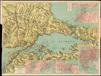
maps of world war i by the daily telegraph
maps of world war i by the daily telegraph
maps of world war i by the daily telegraph
maps of world war i by the daily telegraph
maps of world war i by the daily telegraph
maps of world war i by the daily telegraph
maps of world war i by the daily telegraph
maps of world war i by the daily telegraph
maps of world war i by the daily telegraph
maps of world war i by the daily telegraph
maps of world war i by the daily telegraph
maps of world war i by the daily telegraph
maps of world war i by the daily telegraph
maps of world war i by the daily telegraph
maps of world war i by the daily telegraph
maps of world war i by the daily telegraph
maps of world war i by the daily telegraph
maps of world war i by the daily telegraph
maps of world war i by the daily telegraph
maps of world war i by the daily telegraph
maps of world war i by the daily telegraph
maps of world war i by the daily telegraph
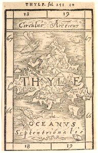
provided by landsbókasafn íslands
19th-century maps of iceland
provided by landsbókasafn íslands
16th-century maps of iceland
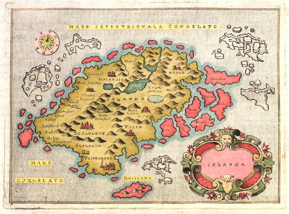
provided by landsbókasafn íslands
16th-century maps of iceland
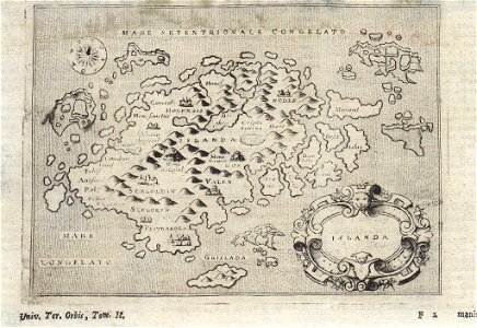
provided by landsbókasafn íslands
18th-century maps of iceland
provided by landsbókasafn íslands
18th-century maps of iceland
cosmographia (1600) by sebastian münster
old maps of milan
johann christoph müller
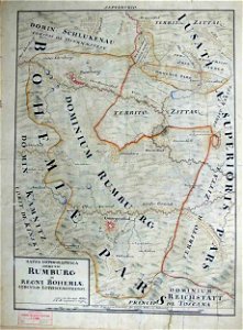
maps of rumburk
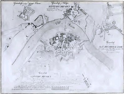
dresden (schumann)
innere neustadt
engravings of topographia saxoniae inferioris
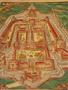
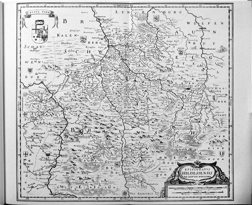
old maps of hildesheim
geographical illustrations by coronelli
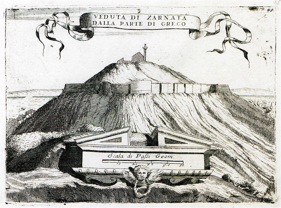
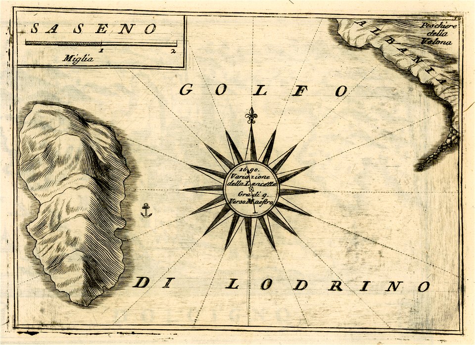
sazan
johann christoph müller
maps of rumburk
geographical illustrations by coronelli
old maps of the peloponnese
geographical illustrations by coronelli
old maps of the peloponnese
geographical illustrations by coronelli
old maps of the peloponnese
geographical illustrations by coronelli
old maps of the peloponnese
geographical illustrations by coronelli
old maps of the peloponnese
geographical illustrations by coronelli
old maps of the peloponnese
geographical illustrations by coronelli
old maps of the peloponnese
old maps of bruges
covens en mortier
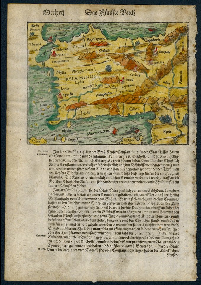
cosmographia (1600) by sebastian münster
1600s maps of egypt
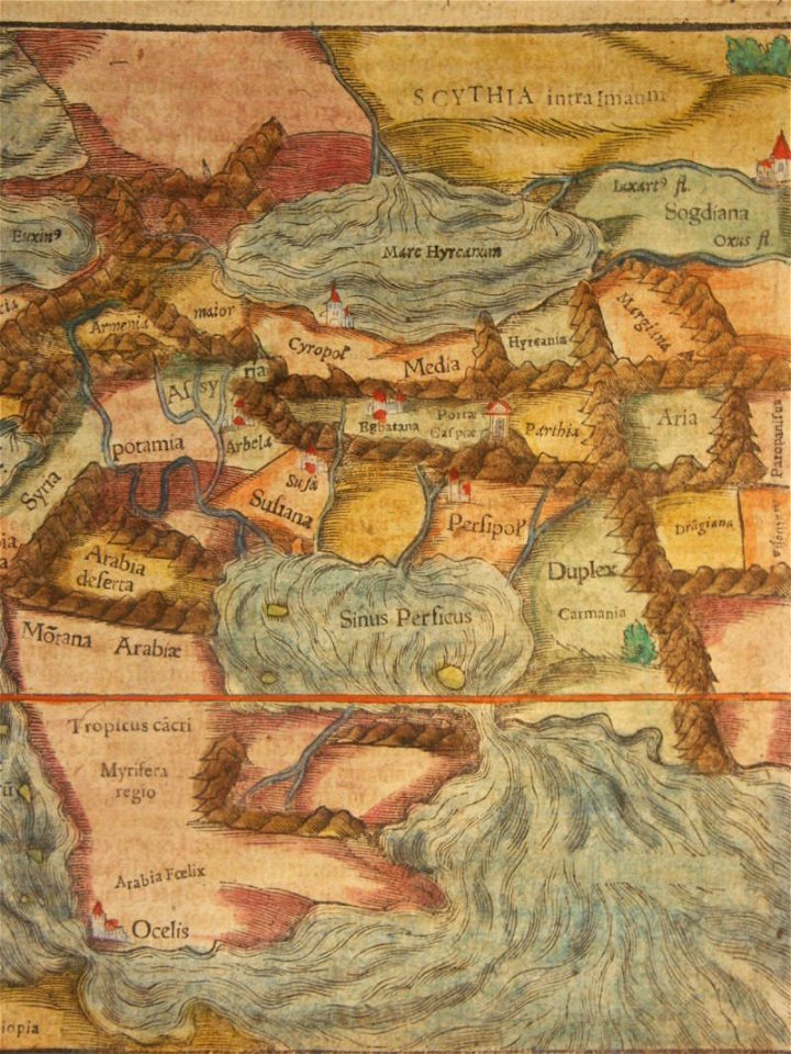
cosmographia (1600) by sebastian münster
1600 maps of iran
cosmographia (1588) by sebastian münster
old maps of asia
cosmographia (1600) by sebastian münster
1600 maps of iran
awa province (tokushima)
keichō kuniezu
maps of lars kietzlingh
källtorpssjön
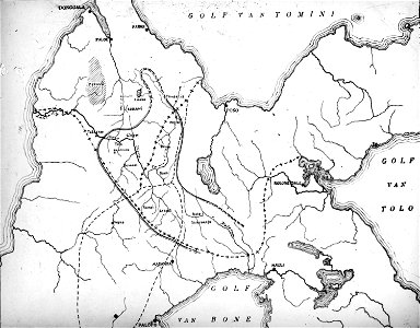
walter kaudern expedition to celebes
maps of central sulawesi
liber insularum archipelagi (royal museums greenwich)
maps of kalymnos
7201 - 7300 of 33,382
Next page
/ 334